
A conservation report gives poor marks to the Etobicoke Creek Watershed.
Water in the Etobicoke Creek Watershed is poor, so is its aquatic life partially due to a large amount of runoffs and erosion rate, according to a conservation report.
The Etobicoke Creek Watershed Plan states ‘there is a low amount of natural cover and the habitat rate is generally poor.’
“The remaining natural cover is highly vulnerable to the effects of climate change,” according to a report released in March by the Toronto and Regional Conservation Authority (TRCA) for approval by Toronto, Peel, Mississauga, Brampton and other jurisdictions.
The implementation of the plan will help reduce flooding, improve conditions for biodiversity, and increase resiliency to the impacts of climate change across the watershed.
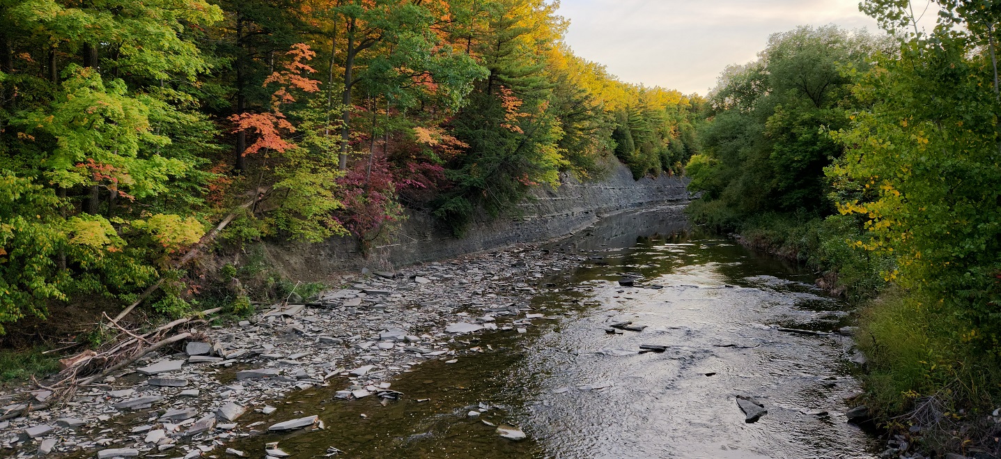
Runoffs and a lack of tree cover gives the water and aqua life a poor rating, report says.
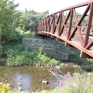
The Etobicoke Creek watershed is about 22,404 hectares in size and represents the south-western border of the City of Toronto. It is bordered by the Credit River watershed to the west and the Mimico Creek and Humber River watersheds to the east.
The City represents 9.2% of the Etobicoke Creek watershed area, including portions of Etobicoke-Lakeshore and Etobicoke Centre. The watershed begins in the Greenbelt in the Town of Caledon and flows south through the Cities of Brampton and Mississauga, before entering Lake Ontario at the mouth of the Etobicoke Creek in Marie Curtis Park.
The plan was developed to reflect the latest data and science, provincial policies, and best management practices. It can be refined as needed and includes regular monitoring and evaluation.
Lots of rehabilitation work has to be done to improve the Watershed water quality.
Its vision is to ensure the “Etobicoke Creek watershed is protected and restored to a cleaner, healthier, and more natural state, to sustain its waterways, ecosystems, and human communities.”
The plan in 2019 stated the Etobicoke Creek watershed is heavily urbanized with about 60 per cent of urban use; has very low amounts or about 12 per cent of natural cover and about 28 per cent of the area for rural land uses.
“The general trend indicates increasing urbanization and loss of rural and natural cover over the past two decades,” according to the report.
The plan warns that the watershed suffers from medium to high erosion sensitivity and has six flood prone areas including Long Branch, at the mouth of Etobicoke Creek north of Lakeshore Road, and West Mall in the vicinity of Dundas Street East surrounding Etobicoke Creek.
The Long Branch flood plain was hit hard during Hurricane Hazel in which the creek flooded it banks washing away homes and leading to the deaths of a number of residents.
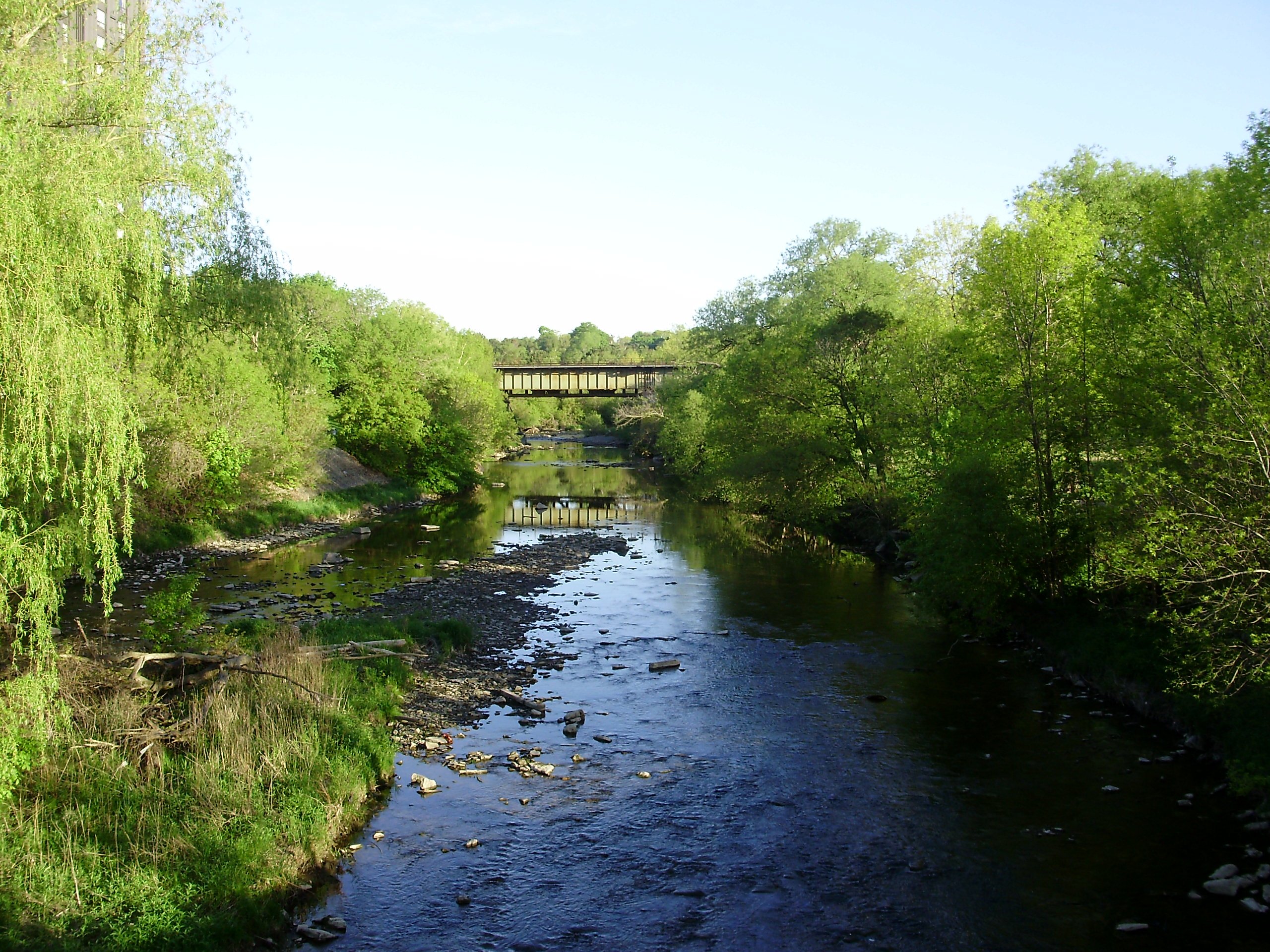
A stretch of the Etobicoke Creek from Lake Ontario north of Lake Shore Blvd. W., is one area prone to flooding, as Hurricane Hazel floods demonstrated.
“As urbanization increases and the climate changes, there will be negative impacts to all the watershed components,” according to the TRCA. “By increasing levels of enhancements the overall ecological health and the ability of the natural environment to adapt and respond to climate change increases.”
The report ‘provides the process for implementation, tracking and reporting of the plan and provides information on the inventory, monitoring and evaluation that will take place to evaluate watershed health, and the adaptive management plan.’
The Etobicoke Creek Watershed Plan will continue to inform land use and infrastructure planning decisions and other municipal initiatives, help identify opportunities to protect, enhance and restore the health of the watershed including important natural features and areas.
“As a downstream municipality, it is vital to acknowledge how the overall ecological health of Toronto is influenced by land use and urbanization patterns upstream,” the report stated.